
Gledin topographic map
Interactive map
Click on the map to display elevation.
About this map
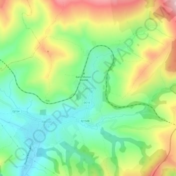
Name: Gledin topographic map, elevation, terrain.
Location: Gledin, Bistrița-Năsăud, 427176, Romania (46.93770 24.68587 46.97770 24.72587)
Average elevation: 1,775 ft
Minimum elevation: 1,463 ft
Maximum elevation: 2,257 ft
Other topographic maps
Click on a map to view its topography, its elevation and its terrain.