
Kirchberg topographic map
Click on the map to display elevation.
Kirchberg
In both the important collections of town portraits from the 17th century, the one by Daniel Meisner and Eberhard Kieser entitled Thesaurus philopoliticus (“Political Treasure Chest”) and also the one by Matthäus Merian entitled Topographia Germaniae, are found copper engravings of Kirchberg. The former image, from 1623, was actually done by copper engraver Sebastian Furck, as witnessed by the Latin signature SF fecit (“SF made it”).
About this map
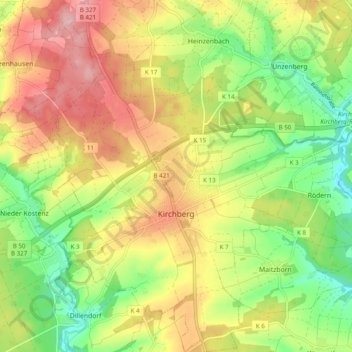
Name: Kirchberg topographic map, elevation, terrain.
Average elevation: 1,302 ft
Minimum elevation: 1,056 ft
Maximum elevation: 1,568 ft