Geolocate

Fort Chipewyan topographic map

Click on the map to display elevation.

About this map
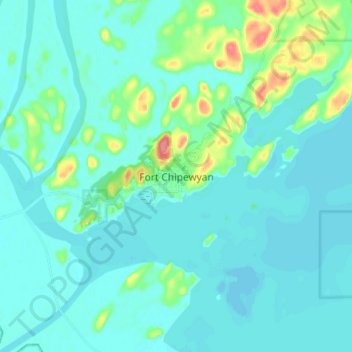
Name: Fort Chipewyan topographic map, elevation, terrain.

Location: Fort Chipewyan, Wood Buffalo, Alberta, T0P 1B0, Canada (58.67664 -111.19002 58.75664 -111.11002)

Average elevation: 712 ft

Minimum elevation: 676 ft

Maximum elevation: 909 ft

Other topographic maps

Click on a map to view its topography, its elevation and its terrain.

Namur Lake 174A

Canada > Alberta > Wood Buffalo

Average elevation: 2,402 ft

Gear up for your next adventure:

🪶Trail Camera - Capture wildlife on your hikes
🧣Merino Neck Gaiters - Multi-functional headwear for wind and sun protection
🪶Survival Guide Book - Expert advice for emergency preparedness
🧥Men's Rain Shells - Premium waterproof and breathable jackets for mountain weather
🌡️Portable Weather Meter - Track weather conditions on the trail

As an Amazon Associate, this site earns from qualifying purchases at no extra cost to you.