
Thank you for supporting this site ❤️
Make a donation
Make a donation
Gear up for your next adventure:
As an Amazon Associate, this site earns from qualifying purchases at no extra cost to you.
Buner topographic map
Click on the map to display elevation.
Thank you for supporting this site ❤️
Make a donation
Make a donation
Gear up for your next adventure:
As an Amazon Associate, this site earns from qualifying purchases at no extra cost to you.
About this map
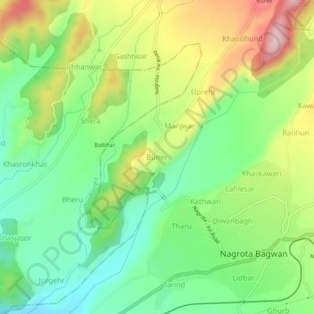
Name: Buner topographic map, elevation, terrain.
Location: Buner, Nagrota Bagwan, Kangra, Himachal Pradesh, 176047, India (32.10018 76.34393 32.14018 76.38393)
Average elevation: 2,854 ft
Minimum elevation: 2,490 ft
Maximum elevation: 3,415 ft
Thank you for supporting this site ❤️
Make a donation
Make a donation
Gear up for your next adventure:
As an Amazon Associate, this site earns from qualifying purchases at no extra cost to you.