Geolocate

Bukit Besar topographic map

Click on the map to display elevation.

About this map

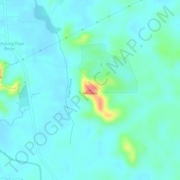
Name: Bukit Besar topographic map, elevation, terrain.

Location: Bukit Besar, Kampung Paya Besar, Terengganu, 21800, Malaysia (5.05540 103.04421 5.05550 103.04431)

Average elevation: 66 ft

Minimum elevation: 20 ft

Maximum elevation: 259 ft

Gear up for your next adventure:

🕶️Glacier Sunglasses - Side shields to protect eyes from high-altitude snow glare
🎒Outdoor Daypacks - Lightweight backpacks designed for carrying maps and essential gear
🛡️Insect Repellent - Protection against bugs during outdoor activities
📷Action Camera - Capture your outdoor adventures in HD
🏥Hiking First Aid Kits - Comprehensive medical kits for remote trail injuries

As an Amazon Associate, this site earns from qualifying purchases at no extra cost to you.