
Bagthorpe topographic map
Click on the map to display elevation.
About this map
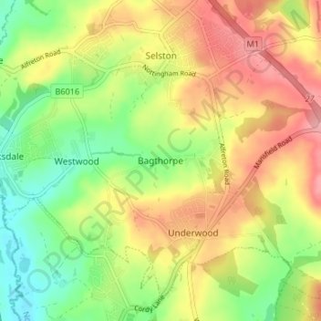
Name: Bagthorpe topographic map, elevation, terrain.
Average elevation: 384 ft
Minimum elevation: 207 ft
Maximum elevation: 568 ft
Other topographic maps
Click on a map to view its topography, its elevation and its terrain.
Sutton in Ashfield
United Kingdom > England > Nottinghamshire > Ashfield > Stanton Hill
Average elevation: 505 ft
Sutton Lawn
United Kingdom > England > Nottinghamshire > Ashfield > Sutton-in-Ashfield
Average elevation: 509 ft