
Amazonas topographic map
Interactive map
Click on the map to display elevation.
About this map
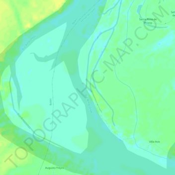
Name: Amazonas topographic map, elevation, terrain.
Location: Amazonas, Belén, Provincia de Maynas, Loreto, Perú (-3.95304 -73.25838 -3.89638 -73.23646)
Average elevation: 289 ft
Minimum elevation: 266 ft
Maximum elevation: 331 ft
Other topographic maps
Click on a map to view its topography, its elevation and its terrain.
Isla Iquitos
Isla Iquitos, Belén, Maynas, Loreto, 16001, Perú
Average elevation: 282 ft
San Andres
San Andres, Belén, Maynas, Loreto, 16002, Perú
Average elevation: 292 ft