
Thank you for supporting this site ❤️
Make a donation
Make a donation
Gear up for your next adventure:
As an Amazon Associate, this site earns from qualifying purchases at no extra cost to you.
Burguillo topographic map
Click on the map to display elevation.
Thank you for supporting this site ❤️
Make a donation
Make a donation
Gear up for your next adventure:
As an Amazon Associate, this site earns from qualifying purchases at no extra cost to you.
About this map
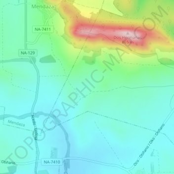
Name: Burguillo topographic map, elevation, terrain.
Location: Burguillo, Piedramillera, Montejurra, 31282, España (42.61930 -2.23659 42.63930 -2.21659)
Average elevation: 1,985 ft
Minimum elevation: 1,732 ft
Maximum elevation: 2,749 ft
Thank you for supporting this site ❤️
Make a donation
Make a donation
Gear up for your next adventure:
As an Amazon Associate, this site earns from qualifying purchases at no extra cost to you.