
Beulah topographic map
Click on the map to display elevation.
About this map
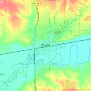
Name: Beulah topographic map, elevation, terrain.
Location: Beulah, Mercer County, North Dakota, United States (47.24124 -101.79111 47.28471 -101.74025)
Average elevation: 1,844 ft
Minimum elevation: 1,749 ft
Maximum elevation: 2,014 ft
Mercer County trails, hiking, mountain biking, running and outdoor activities
Other topographic maps
Click on a map to view its topography, its elevation and its terrain.