
Thank you for supporting this site ❤️
Make a donation
Make a donation
Gear up for your next adventure:
As an Amazon Associate, this site earns from qualifying purchases at no extra cost to you.
El Konoz topographic map
Click on the map to display elevation.
Thank you for supporting this site ❤️
Make a donation
Make a donation
Gear up for your next adventure:
As an Amazon Associate, this site earns from qualifying purchases at no extra cost to you.
About this map
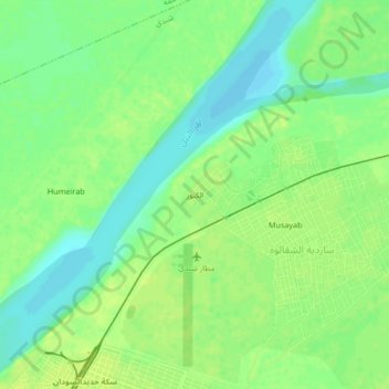
Name: El Konoz topographic map, elevation, terrain.
Location: El Konoz, ساردية الشقالوة, Shendi, River Nile State, Sudan (16.69630 33.42720 16.73630 33.46720)
Average elevation: 1,184 ft
Minimum elevation: 1,155 ft
Maximum elevation: 1,204 ft
Thank you for supporting this site ❤️
Make a donation
Make a donation
Gear up for your next adventure:
As an Amazon Associate, this site earns from qualifying purchases at no extra cost to you.