Geolocate

Rapti River topographic map

Click on the map to display elevation.

About this map

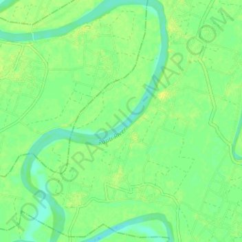
Name: Rapti River topographic map, elevation, terrain.

Location: Rapti River, Gorakhpur, Uttar Pradesh, 273001, India (26.54741 83.44171 26.60360 83.47841)

Average elevation: 243 ft

Minimum elevation: 217 ft

Maximum elevation: 266 ft

Gear up for your next adventure:

🔭Telescopic Hiking Pole - Adjustable pole for hiking stability
📶Satellite Messenger - Communication device off‑grid
⛑️Personal Locator Beacon - Safety beacon for emergencies
🔭Compact Binoculars - HD vision for scouting terrain and identifying distant landmarks
🪶Wildlife Field Guides - Learn animal tracking and species ID

As an Amazon Associate, this site earns from qualifying purchases at no extra cost to you.