Geolocate

Chinook topographic map

Click on the map to display elevation.

About this map

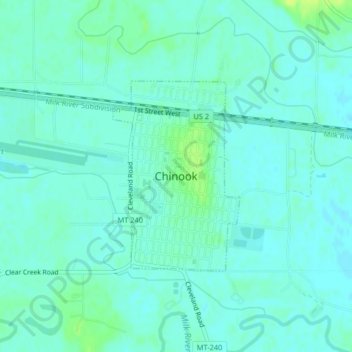
Name: Chinook topographic map, elevation, terrain.

Location: Chinook, Blaine County, Montana, United States (48.58284 -109.23919 48.59742 -109.22439)

Average elevation: 2,411 ft

Minimum elevation: 2,395 ft

Maximum elevation: 2,444 ft

Blaine County trails, hiking, mountain biking, running and outdoor activities

Other topographic maps

Click on a map to view its topography, its elevation and its terrain.

Cleveland

United States > Montana > Blaine County

Average elevation: 3,579 ft

Gear up for your next adventure:

🦶Hiking Gaiters - Keep debris and water out of your boots
🧭Pro Hiking Compasses - High-accuracy liquid-filled compasses for topographic orientation
🧦Hiking Socks - Comfortable socks to prevent blisters on long hikes
🧣Hiking Neck Gaiter - Multi‑use neck protection for outdoor weather
🖼️Topo Map Wall Art - Decorative topographic prints of famous peaks and regions

As an Amazon Associate, this site earns from qualifying purchases at no extra cost to you.