Geolocate

Atkinson topographic map

Click on the map to display elevation.

About this map

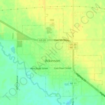
Name: Atkinson topographic map, elevation, terrain.

Location: Atkinson, Holt County, Nebraska, 68713, United States (42.52215 -98.99060 42.54477 -98.96079)

Average elevation: 2,110 ft

Minimum elevation: 2,067 ft

Maximum elevation: 2,136 ft

Holt County trails, hiking, mountain biking, running and outdoor activities

Gear up for your next adventure:

🪶LED Camping Lantern - Bright lantern for camp lighting
🏕️Tent Footprint - Protect your tent base from wear
🧭Pro Hiking Compasses - High-accuracy liquid-filled compasses for topographic orientation
🧼Biodegradable Camping Soap - Eco‑friendly soap for outdoor hygiene
🦶Hiking Gaiters - Keep debris and water out of your boots

As an Amazon Associate, this site earns from qualifying purchases at no extra cost to you.