
Thank you for supporting this site ❤️
Make a donation
Make a donation
Gear up for your next adventure:
As an Amazon Associate, this site earns from qualifying purchases at no extra cost to you.
Mall topographic map
Click on the map to display elevation.
Thank you for supporting this site ❤️
Make a donation
Make a donation
Gear up for your next adventure:
As an Amazon Associate, this site earns from qualifying purchases at no extra cost to you.
About this map
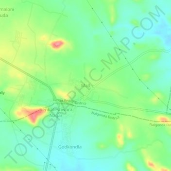
Name: Mall topographic map, elevation, terrain.
Location: Mall, Yacharam mandal, Ranga Reddy District, Telangana, India (16.95782 78.71678 16.99782 78.75678)
Average elevation: 1,683 ft
Minimum elevation: 1,581 ft
Maximum elevation: 1,893 ft
Thank you for supporting this site ❤️
Make a donation
Make a donation
Gear up for your next adventure:
As an Amazon Associate, this site earns from qualifying purchases at no extra cost to you.