Geolocate

Bakori topographic map

Click on the map to display elevation.

About this map

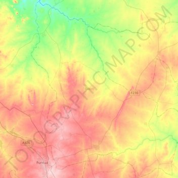
Name: Bakori topographic map, elevation, terrain.

Location: Bakori, Katsina State, Nigeria (11.49026 7.28377 11.86210 7.64352)

Average elevation: 2,073 ft

Minimum elevation: 1,755 ft

Maximum elevation: 2,388 ft

Gear up for your next adventure:

🔋Rechargeable Batteries - Power up your outdoor devices
😴Insulated Sleeping Pads - Compact and warm pads for high-elevation camping
🔦Powerful Headlamps - Ultra-bright hands-free lighting for night navigation
🎁Geography Themed Gifts - Unique gift ideas for map lovers and geography enthusiasts
🔌USB Car Charger - Car charger for on‑the‑go power needs

As an Amazon Associate, this site earns from qualifying purchases at no extra cost to you.