
Tierra Prometida topographic map
Click on the map to display elevation.
About this map
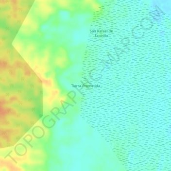
Name: Tierra Prometida topographic map, elevation, terrain.
Location: Tierra Prometida, Nauta, Loreto, Perú (-4.38356 -73.49612 -4.34356 -73.45612)
Average elevation: 318 ft
Minimum elevation: 276 ft
Maximum elevation: 394 ft
Other topographic maps
Click on a map to view its topography, its elevation and its terrain.
Área de Conservación Privada Comunidad Nativa San Jorge del Río Marañón
Average elevation: 410 ft