Geolocate

Homer topographic map

Click on the map to display elevation.

About this map

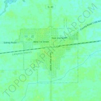
Name: Homer topographic map, elevation, terrain.

Location: Homer, Champaign County, Illinois, United States (40.02509 -87.97082 40.04249 -87.94849)

Average elevation: 669 ft

Minimum elevation: 653 ft

Maximum elevation: 682 ft

Champaign County trails, hiking, mountain biking, running and outdoor activities

Other topographic maps

Click on a map to view its topography, its elevation and its terrain.

Urbana

United States > Illinois > Champaign County > Urbana

Average elevation: 712 ft

Gear up for your next adventure:

🧤Tactile Hiking Gloves - Keep hands warm while operating GPS and smartphone screens
🧣Hiking Neck Gaiter - Multi‑use neck protection for outdoor weather
🛌Ultralight Sleeping Bags - Compact down bags for cold nights in the wilderness
👓Polarized Sunglasses - Outdoor sunglasses for glare reduction
🛡️Insect Repellent - Protection against bugs during outdoor activities

As an Amazon Associate, this site earns from qualifying purchases at no extra cost to you.