
Make a donation
Gear up for your next adventure:
As an Amazon Associate, this site earns from qualifying purchases at no extra cost to you.
Kvemo Arkevani topographic map
Click on the map to display elevation.
Make a donation
Gear up for your next adventure:
As an Amazon Associate, this site earns from qualifying purchases at no extra cost to you.
About this map
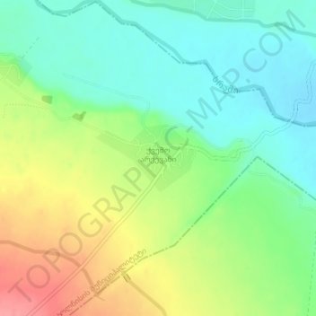
Name: Kvemo Arkevani topographic map, elevation, terrain.
Location: Kvemo Arkevani, Bolnisi Municipality, Lower Kartli, Georgia (41.41517 44.74148 41.42096 44.75281)
Average elevation: 1,289 ft
Minimum elevation: 1,184 ft
Maximum elevation: 1,460 ft
Make a donation
Gear up for your next adventure:
As an Amazon Associate, this site earns from qualifying purchases at no extra cost to you.
Other topographic maps
Click on a map to view its topography, its elevation and its terrain.
Kazreti
Georgia > Lower Kartli > Bolnisi Municipality
There are two public schools, a library, and a small police station in Kazreti. Latitude 41.379963, longitude 44.410007, elevation 699 meters.
Average elevation: 2,385 ft