Geolocate

Fiume Olona topographic map

Click on the map to display elevation.

About this map

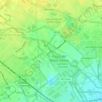
Name: Fiume Olona topographic map, elevation, terrain.

Location: Fiume Olona, Vanzago, Milano, Lombardia, 20010, Italia (45.53286 9.00569 45.53311 9.00610)

Average elevation: 535 ft

Minimum elevation: 495 ft

Maximum elevation: 564 ft

Gear up for your next adventure:

🍳Camping Cook Set - Complete cookware for outdoor meals
🪶Multi‑Purpose Knife - Useful blade for camp and trail
🔪Outdoor Multitools - Essential survival tools for gear repair and field use
🔭Stargazing Telescopes - Perfect for camping in low-light pollution areas shown on maps
🧣Hiking Neck Gaiter - Multi‑use neck protection for outdoor weather

As an Amazon Associate, this site earns from qualifying purchases at no extra cost to you.