
Peramangalam topographic map
Click on the map to display elevation.
About this map
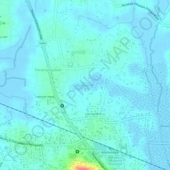
Name: Peramangalam topographic map, elevation, terrain.
Location: Peramangalam, Thrissur, Thrissur District, Kerala, India (10.56993 76.16538 10.57434 76.17129)
Average elevation: 26 ft
Minimum elevation: -20 ft
Maximum elevation: 200 ft
Other topographic maps
Click on a map to view its topography, its elevation and its terrain.