Geolocate

Forestry topographic map

Interactive map

Click on the map to display elevation.

About this map

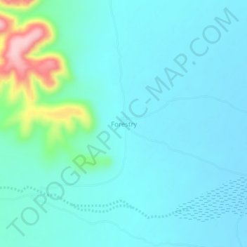
Name: Forestry topographic map, elevation, terrain.

Location: Forestry, Burao District, Togdheer, Somalia (9.66340 45.88648 9.70340 45.92648)

Average elevation: 3,064 ft

Minimum elevation: 2,966 ft

Maximum elevation: 3,596 ft

Other topographic maps

Click on a map to view its topography, its elevation and its terrain.

Burao

Somalia > Togdheer > Burao District

Burao, Burao District, Togdheer, Somaliland, Somalia

Average elevation: 3,448 ft

Togdheer

Somalia > Togdheer > Burao District

Togdheer, Burao District, Togdheer, Somaliland, Somalia

Average elevation: 3,051 ft