
Boissevain topographic map
Interactive map
Click on the map to display elevation.
About this map
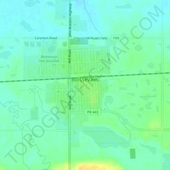
Name: Boissevain topographic map, elevation, terrain.
Location: Boissevain, Division No. 5, Manitoba, R0K 0E0, Canada (49.22235 -100.07069 49.23707 -100.04813)
Average elevation: 1,677 ft
Minimum elevation: 1,650 ft
Maximum elevation: 1,732 ft