Geolocate

Sitamarhi topographic map

Click on the map to display elevation.

Sitamarhi

Sitamarhi, located at 26°36′N 85°29′E / 26.6°N 85.48°E / 26.6; 85.48, has an average elevation of 56 metres (184 ft).

Wikipedia (CC-BY-SA 3.0)

About this map

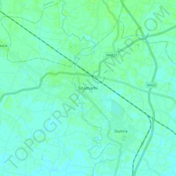
Name: Sitamarhi topographic map, elevation, terrain.

Location: Sitamarhi, Dumra, Sitamarhi District, Bihar, 843300, India (26.54765 85.46567 26.62765 85.54567)

Average elevation: 210 ft

Minimum elevation: 200 ft

Maximum elevation: 223 ft

Gear up for your next adventure:

🧼Biodegradable Camping Soap - Eco‑friendly soap for outdoor hygiene
🥾Men's Hiking Boots - Durable, waterproof footwear for rugged terrain and steep inclines
📚USA Hiking Guide Books - Top trail guides and map books
🔌USB Car Charger - Car charger for on‑the‑go power needs
🔭Telescopic Hiking Pole - Adjustable pole for hiking stability

As an Amazon Associate, this site earns from qualifying purchases at no extra cost to you.