
Tafton topographic map
Click on the map to display elevation.
About this map
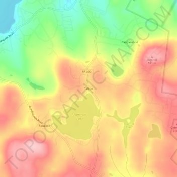
Name: Tafton topographic map, elevation, terrain.
Average elevation: 1,503 ft
Minimum elevation: 1,161 ft
Maximum elevation: 1,755 ft
Pike County trails, hiking, mountain biking, running and outdoor activities
Other topographic maps
Click on a map to view its topography, its elevation and its terrain.
Lake Wallenpaupack
United States > Pennsylvania > Pike County > Palmyra Township
Average elevation: 1,388 ft