
Brooklyn topographic map
Interactive map
Click on the map to display elevation.
About this map
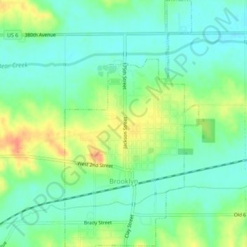
Name: Brooklyn topographic map, elevation, terrain.
Location: Brooklyn, Poweshiek County, Iowa, United States (41.72068 -92.45509 41.75032 -92.43351)
Average elevation: 866 ft
Minimum elevation: 810 ft
Maximum elevation: 961 ft
Poweshiek County trails, hiking, mountain biking, running and outdoor activities