Geolocate

Buriani topographic map

Click on the map to display elevation.

About this map

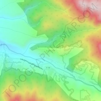
Name: Buriani topographic map, elevation, terrain.

Location: Buriani, Mtskheta Municipality, Mtskheta-Mtianeti, Georgia (41.87730 44.85188 41.91730 44.89188)

Average elevation: 3,386 ft

Minimum elevation: 2,612 ft

Maximum elevation: 4,724 ft

Other topographic maps

Click on a map to view its topography, its elevation and its terrain.

Gear up for your next adventure:

🗺️NatGeo Topo Maps - High-quality waterproof printed topographic maps of US Parks
👟Men's Trail Runners - Lightweight footwear for fast-paced exploration and light hiking
🩳Quick‑Dry Hiking Shorts - Comfortable and quick‑dry shorts for summer hiking
🔌Solar Panel Charger - Charge gear sustainably outdoors
🔊Portable Camp Speaker - Music and alerts at camp

As an Amazon Associate, this site earns from qualifying purchases at no extra cost to you.