
Make a donation
Gear up for your next adventure:
As an Amazon Associate, this site earns from qualifying purchases at no extra cost to you.
Quyquyhó topographic map
Click on the map to display elevation.
Make a donation
Gear up for your next adventure:
As an Amazon Associate, this site earns from qualifying purchases at no extra cost to you.
About this map
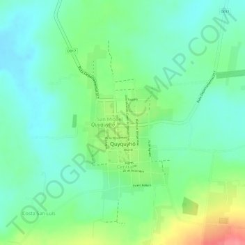
Name: Quyquyhó topographic map, elevation, terrain.
Average elevation: 430 ft
Minimum elevation: 331 ft
Maximum elevation: 620 ft
Make a donation
Gear up for your next adventure:
As an Amazon Associate, this site earns from qualifying purchases at no extra cost to you.
Other topographic maps
Click on a map to view its topography, its elevation and its terrain.
Pirayu District
Paraguay > Department of Paraguari
The district of Pirayú is situated at the northern end of the Department of Paraguarí, in which the topography is rugged, comprising hills belonging to the Highlands range. Included among the elevations of the region are the hills Yvytypané, Mbatoví and Santo Tomás. It has an area of 141 km2 of…
Average elevation: 482 ft
Make a donation
Gear up for your next adventure:
As an Amazon Associate, this site earns from qualifying purchases at no extra cost to you.