
Thank you for supporting this site ❤️
Make a donation
Make a donation
Gear up for your next adventure:
As an Amazon Associate, this site earns from qualifying purchases at no extra cost to you.
Dunphail topographic map
Click on the map to display elevation.
Thank you for supporting this site ❤️
Make a donation
Make a donation
Gear up for your next adventure:
As an Amazon Associate, this site earns from qualifying purchases at no extra cost to you.
About this map
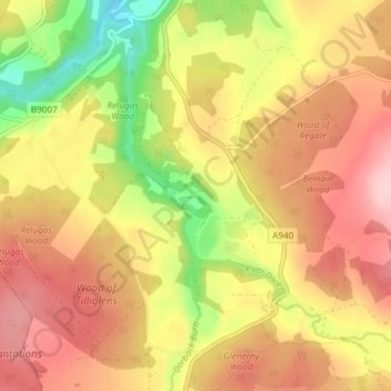
Name: Dunphail topographic map, elevation, terrain.
Location: Dunphail, Moray, Scotland, IV36 2QQ, United Kingdom (57.48945 -3.67336 57.52945 -3.63336)
Average elevation: 630 ft
Minimum elevation: 272 ft
Maximum elevation: 896 ft
Thank you for supporting this site ❤️
Make a donation
Make a donation
Gear up for your next adventure:
As an Amazon Associate, this site earns from qualifying purchases at no extra cost to you.