Geolocate

Rankin topographic map

Click on the map to display elevation.

About this map

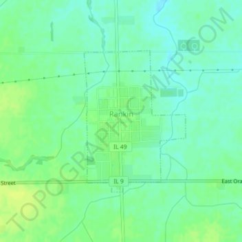
Name: Rankin topographic map, elevation, terrain.

Location: Rankin, Vermilion County, Illinois, United States (40.45631 -87.90189 40.47214 -87.88697)

Average elevation: 719 ft

Minimum elevation: 692 ft

Maximum elevation: 748 ft

Vermilion County trails, hiking, mountain biking, running and outdoor activities

Other topographic maps

Click on a map to view its topography, its elevation and its terrain.

Alvin

United States > Illinois > Vermilion County

Average elevation: 673 ft

Brooks Point

United States > Illinois > Vermilion County

Average elevation: 617 ft

Salt Fork

United States > Illinois > Vermilion County

Average elevation: 679 ft

Gear up for your next adventure:

🗺️Topographic Maps - Detailed topo maps for hiking, exploring and outdoor navigation
🌡️Portable Weather Meter - Track weather conditions on the trail
📌Outdoor GPS Map App - Apps and devices for digital topographic navigation
📶Vehicle Signal Boosters - Improve reception in rural areas while driving to trailheads
📡Handheld GPS Device - Reliable handheld GPS for outdoor navigation

As an Amazon Associate, this site earns from qualifying purchases at no extra cost to you.