Geolocate

Calamus topographic map

Click on the map to display elevation.

About this map

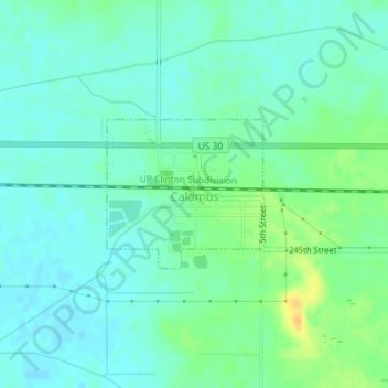
Name: Calamus topographic map, elevation, terrain.

Location: Calamus, Clinton County, Iowa, United States (41.82066 -90.76716 41.83107 -90.75256)

Average elevation: 692 ft

Minimum elevation: 663 ft

Maximum elevation: 761 ft

Clinton County trails, hiking, mountain biking, running and outdoor activities

Other topographic maps

Click on a map to view its topography, its elevation and its terrain.

Nancy Elaine Lake

United States > Iowa > Clinton County > Camanche

Average elevation: 600 ft

Adams Island

United States > Iowa > Clinton County

Average elevation: 587 ft

Gear up for your next adventure:

🧦Hiking Socks - Comfortable socks to prevent blisters on long hikes
🧣Merino Neck Gaiters - Multi-functional headwear for wind and sun protection
👟Trail Running Shoes - Lightweight shoes for trail runners
🧭Outdoor Navigation Book - Learn advanced navigation skills
🧺Microfiber Travel Towels - Compact and fast-drying towels for trail use

As an Amazon Associate, this site earns from qualifying purchases at no extra cost to you.