
Make a donation
Gear up for your next adventure:
As an Amazon Associate, this site earns from qualifying purchases at no extra cost to you.
Cuito topographic map
Click on the map to display elevation.
Make a donation
Gear up for your next adventure:
As an Amazon Associate, this site earns from qualifying purchases at no extra cost to you.
Cuito
The town sits on the eastern flank of the Bie Plateau. The climate is unusually cool for its tropical location. The average annual temperature is 18 °C, largely due to its high altitude. The coolest period is May to August when almost no rain falls. September and October are the hottest months with a little rain. Heavy rain falls in the main rainy season November to April.
Make a donation
Gear up for your next adventure:
As an Amazon Associate, this site earns from qualifying purchases at no extra cost to you.
About this map
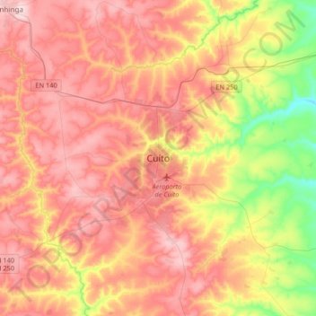
Name: Cuito topographic map, elevation, terrain.
Location: Cuito, Bié Province, Angola (-12.54313 16.78255 -12.22313 17.10255)
Average elevation: 5,482 ft
Minimum elevation: 4,980 ft
Maximum elevation: 5,869 ft
Make a donation
Gear up for your next adventure:
As an Amazon Associate, this site earns from qualifying purchases at no extra cost to you.