
Beaver Point topographic map
Click on the map to display elevation.
About this map
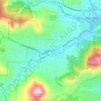
Name: Beaver Point topographic map, elevation, terrain.
Average elevation: 7,979 ft
Minimum elevation: 7,526 ft
Maximum elevation: 9,052 ft
Larimer County trails, hiking, mountain biking, running and outdoor activities
Other topographic maps
Click on a map to view its topography, its elevation and its terrain.
Lake Estes
United States > Colorado > Larimer County > Estes Park > Stanley Heights Subdivision
Average elevation: 7,605 ft