
Butetown topographic map
Click on the map to display elevation.
About this map
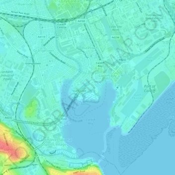
Name: Butetown topographic map, elevation, terrain.
Location: Butetown, Cardiff, Wales, United Kingdom (51.44282 -3.18216 51.47998 -3.12949)
Average elevation: 30 ft
Minimum elevation: 0 ft
Maximum elevation: 203 ft
Other topographic maps
Click on a map to view its topography, its elevation and its terrain.