Geolocate

Solmari topographic map

Click on the map to display elevation.

About this map

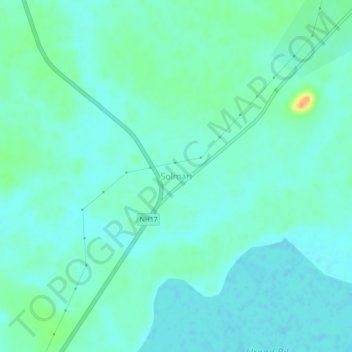
Name: Solmari topographic map, elevation, terrain.

Location: Solmari, Balijana, Goalpara, Assam, India (26.09870 90.56067 26.13870 90.60067)

Average elevation: 141 ft

Minimum elevation: 112 ft

Maximum elevation: 236 ft

Gear up for your next adventure:

🔭Telescopic Hiking Pole - Adjustable pole for hiking stability
🔦Powerful Headlamps - Ultra-bright hands-free lighting for night navigation
🪶Paracord Bracelet - Survival bracelet with built‑in tools
Backpacking Tent - Lightweight and durable tent for multi‑day hikes
GPS Sports Watch - GPS watch for running, hiking and training

As an Amazon Associate, this site earns from qualifying purchases at no extra cost to you.