
Amoret topographic map
Click on the map to display elevation.
About this map
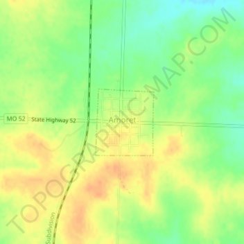
Name: Amoret topographic map, elevation, terrain.
Location: Amoret, Bates County, Missouri, United States (38.25135 -94.59152 38.25872 -94.58325)
Average elevation: 840 ft
Minimum elevation: 774 ft
Maximum elevation: 886 ft
Bates County trails, hiking, mountain biking, running and outdoor activities
Other topographic maps
Click on a map to view its topography, its elevation and its terrain.