
Hudson topographic map
Click on the map to display elevation.
About this map
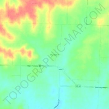
Name: Hudson topographic map, elevation, terrain.
Location: Hudson, Bates County, Missouri, United States (38.18364 -94.11022 38.22364 -94.07022)
Average elevation: 873 ft
Minimum elevation: 791 ft
Maximum elevation: 1,001 ft
Bates County trails, hiking, mountain biking, running and outdoor activities
Other topographic maps
Click on a map to view its topography, its elevation and its terrain.