
Suntree topographic map
Click on the map to display elevation.
About this map
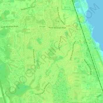
Name: Suntree topographic map, elevation, terrain.
Location: Suntree, Brevard County, Florida, 32940, United States (28.20068 -80.70951 28.24068 -80.66951)
Average elevation: 33 ft
Minimum elevation: -7 ft
Maximum elevation: 49 ft
Brevard County trails, hiking, mountain biking, running and outdoor activities