Geolocate

South Santa Rosa topographic map

Click on the map to display elevation.

About this map

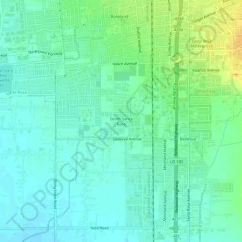
Name: South Santa Rosa topographic map, elevation, terrain.

Location: South Santa Rosa, Santa Rosa, Sonoma County, California, 95407, United States (38.38477 -122.74771 38.42477 -122.70771)

Average elevation: 115 ft

Minimum elevation: 85 ft

Maximum elevation: 180 ft

Sonoma County trails, hiking, mountain biking, running and outdoor activities

Gear up for your next adventure:

🪶Compact Camp Shovel - Folding shovel for campsite tasks
🥘Titanium Cookware - Durable, featherlight pots and pans for backpacking
🪶Multi‑Purpose Knife - Useful blade for camp and trail
🔭Telescopic Hiking Pole - Adjustable pole for hiking stability
🪶Thermal Camp Blanket - Extra warmth for cold nights

As an Amazon Associate, this site earns from qualifying purchases at no extra cost to you.