Geolocate

Kibblesworth topographic map

Click on the map to display elevation.

About this map

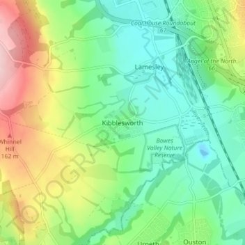
Name: Kibblesworth topographic map, elevation, terrain.

Location: Kibblesworth, Gateshead, Tyne and Wear, North East, England, NE11 0XE, United Kingdom (54.88481 -1.63859 54.92481 -1.59859)

Average elevation: 223 ft

Minimum elevation: -16 ft

Maximum elevation: 659 ft

Other topographic maps

Click on a map to view its topography, its elevation and its terrain.

Lamesley

United Kingdom > England > Tyne and Wear > Gateshead

Average elevation: 282 ft

Lamesley

United Kingdom > England > Tyne and Wear > Gateshead

Average elevation: 282 ft

Stella Wood

United Kingdom > England > Tyne and Wear > Gateshead > Stella

Average elevation: 161 ft

Gear up for your next adventure:

🧭GPS Watch Accessories - Bands and chargers for GPS watches
🔦Compact Flashlight - Reliable flashlight for emergencies
🌲Outdoor Survival Books - Best books on survival skills
🎒Gear Packing Cubes - Organize your backpack efficiently
🛰️Handheld GPS Units - Professional satellite navigators for precise backcountry mapping

As an Amazon Associate, this site earns from qualifying purchases at no extra cost to you.