Geolocate

Naples topographic map

Click on the map to display elevation.

About this map

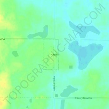
Name: Naples topographic map, elevation, terrain.

Location: Naples, Clark County, South Dakota, United States (44.76783 -97.51578 44.77543 -97.51030)

Average elevation: 1,788 ft

Minimum elevation: 1,762 ft

Maximum elevation: 1,831 ft

Clark County trails, hiking, mountain biking, running and outdoor activities

Gear up for your next adventure:

🌡️Portable Weather Meter - Track weather conditions on the trail
🪶Trail Camera - Capture wildlife on your hikes
🎒Outdoor Daypacks - Lightweight backpacks designed for carrying maps and essential gear
🧭Orienteering Set - Complete compass and map reading kit
🪶Paracord Bracelet - Survival bracelet with built‑in tools

As an Amazon Associate, this site earns from qualifying purchases at no extra cost to you.