
Calabash topographic map
Click on the map to display elevation.
About this map
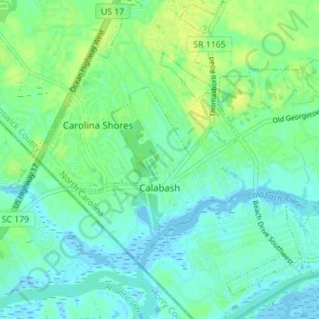
Name: Calabash topographic map, elevation, terrain.
Location: Calabash, Brunswick County, North Carolina, United States (33.87877 -78.58683 33.91181 -78.52373)
Average elevation: 20 ft
Minimum elevation: -16 ft
Maximum elevation: 46 ft
Brunswick County trails, hiking, mountain biking, running and outdoor activities
Other topographic maps
Click on a map to view its topography, its elevation and its terrain.
Boiling Spring Lake Dam
United States > North Carolina > Brunswick County > Boiling Spring Lakes
Average elevation: 46 ft
Cape Fear
United States > North Carolina > Brunswick County > Bald Head Island
Average elevation: 0 ft
Bald Head Island
United States > North Carolina > Brunswick County > Bald Head Island
Average elevation: 10 ft
Cape Fear
United States > North Carolina > Brunswick County > Bald Head Island
Average elevation: 0 ft