Geolocate

Woerden topographic map

Click on the map to display elevation.

About this map

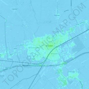
Name: Woerden topographic map, elevation, terrain.

Location: Woerden, Utrecht, Netherlands (52.06682 4.82306 52.10712 4.94327)

Average elevation: -3 ft

Minimum elevation: -13 ft

Maximum elevation: 16 ft

Gear up for your next adventure:

📦Dry Bags Set - Waterproof storage for electronics and clothes
🧷Carabiner Set - Durable clips for gear attachment
🔋Solar Power Banks - Keep your GPS and phone charged in remote wilderness areas
🔌USB Car Charger - Car charger for on‑the‑go power needs
⛑️Personal Locator Beacon - Safety beacon for emergencies

As an Amazon Associate, this site earns from qualifying purchases at no extra cost to you.