
Hintereisferner topographic map
Interactive map
Click on the map to display elevation.
About this map
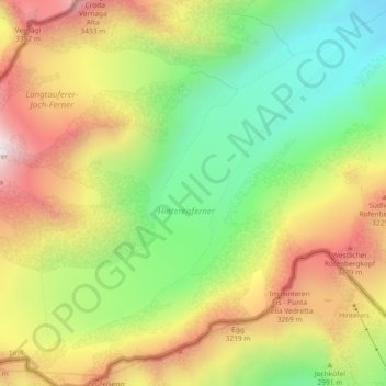
Name: Hintereisferner topographic map, elevation, terrain.
Average elevation: 9,764 ft
Minimum elevation: 8,402 ft
Maximum elevation: 11,325 ft
Other topographic maps
Click on a map to view its topography, its elevation and its terrain.
Hochvernagtspitze
Österreich > Tirol > Kaunertal
Hochvernagtspitze, Kaunertal, Landeck, Tirol, Österreich
Average elevation: 10,213 ft