Geolocate

Quitaracsa topographic map

Click on the map to display elevation.

About this map

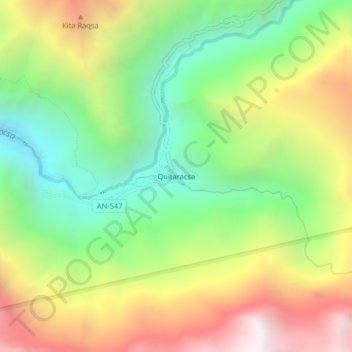
Name: Quitaracsa topographic map, elevation, terrain.

Location: Quitaracsa, Yuracmarca, Huaylas, Áncash, Perú (-8.79310 -77.75700 -8.75310 -77.71700)

Average elevation: 12,569 ft

Minimum elevation: 10,013 ft

Maximum elevation: 15,938 ft

Gear up for your next adventure:

🛠️Backpacking Tool Kit - Essential toolkit for outdoor repairs
🛏️Cold Weather Sleeping Bag - Warm sleeping bag for cold conditions
🔭Stargazing Telescopes - Perfect for camping in low-light pollution areas shown on maps
Solar GPS Watches - Advanced multisport watches with built-in topographic maps
🪶LED Camping Lantern - Bright lantern for camp lighting

As an Amazon Associate, this site earns from qualifying purchases at no extra cost to you.