
Thank you for supporting this site ❤️
Make a donation
Make a donation
Gear up for your next adventure:
As an Amazon Associate, this site earns from qualifying purchases at no extra cost to you.
Gobanle topographic map
Click on the map to display elevation.
Thank you for supporting this site ❤️
Make a donation
Make a donation
Gear up for your next adventure:
As an Amazon Associate, this site earns from qualifying purchases at no extra cost to you.
About this map
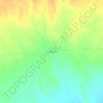
Name: Gobanle topographic map, elevation, terrain.
Location: Gobanle, Wanlaweyn District, Lower Shabelle, South West, Somalia (3.10222 44.74507 3.14222 44.78507)
Average elevation: 699 ft
Minimum elevation: 646 ft
Maximum elevation: 751 ft
Thank you for supporting this site ❤️
Make a donation
Make a donation
Gear up for your next adventure:
As an Amazon Associate, this site earns from qualifying purchases at no extra cost to you.