
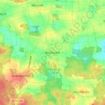
Aschbuch topographic map
Click on the map to display elevation.
About this map
Name: Aschbuch topographic map, elevation, terrain.
Average elevation: 1,686 ft
Minimum elevation: 1,598 ft
Maximum elevation: 1,778 ft
Other topographic maps
Click on a map to view its topography, its elevation and its terrain.
92339
Deutschland > Bayern > Landkreis Eichstätt > Beilngries > Paulushofen > Leising
Average elevation: 1,572 ft