Geolocate

Mitchell topographic map

Click on the map to display elevation.

About this map

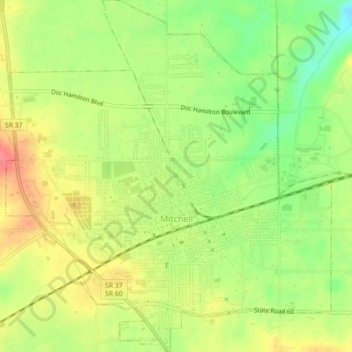
Name: Mitchell topographic map, elevation, terrain.

Location: Mitchell, Lawrence County, Indiana, 47446, United States (38.71975 -86.49511 38.75428 -86.45410)

Average elevation: 686 ft

Minimum elevation: 571 ft

Maximum elevation: 794 ft

Lawrence County trails, hiking, mountain biking, running and outdoor activities

Other topographic maps

Click on a map to view its topography, its elevation and its terrain.

Heltonville

United States > Indiana > Lawrence County

Average elevation: 738 ft

Thornton

United States > Indiana > Lawrence County

Average elevation: 571 ft

Fayetteville

United States > Indiana > Lawrence County

Average elevation: 659 ft

Hartleyville

United States > Indiana > Lawrence County

Average elevation: 607 ft

Bedford

United States > Indiana > Lawrence County > Bedford > Bedford

Average elevation: 620 ft

Gear up for your next adventure:

🥘Titanium Cookware - Durable, featherlight pots and pans for backpacking
GPS Sports Watch - GPS watch for running, hiking and training
🗺️NatGeo Topo Maps - High-quality waterproof printed topographic maps of US Parks
🔥Camping Stove - Portable stove for camping and backcountry cooking
📶Vehicle Signal Boosters - Improve reception in rural areas while driving to trailheads

As an Amazon Associate, this site earns from qualifying purchases at no extra cost to you.