Geolocate

A56 topographic map

Click on the map to display elevation.

About this map

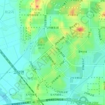
Name: A56 topographic map, elevation, terrain.

Location: A56, Haechang-ri, Pyeongtaek-si, Gyeonggi, South Korea (37.03681 127.02197 37.04016 127.02629)

Average elevation: 56 ft

Minimum elevation: 7 ft

Maximum elevation: 164 ft

Gear up for your next adventure:

Camping Coffee Makers - Enjoy premium coffee at the summit or campsite
📖Nature Tracking Books - Learn to track wildlife and terrain
🩹Survival Bandages - High‑quality bandages for emergencies
🥇GPS Hiking Watch - Multi‑sport GPS watch with navigation and trail tracking
Solar GPS Watches - Advanced multisport watches with built-in topographic maps

As an Amazon Associate, this site earns from qualifying purchases at no extra cost to you.