Geolocate

Lucmacucho topographic map

Click on the map to display elevation.

About this map

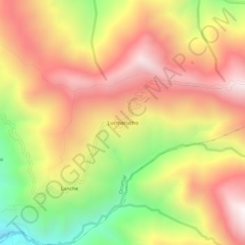
Name: Lucmacucho topographic map, elevation, terrain.

Location: Lucmacucho, Ocumal, Luya, Amazonas, Perú (-6.39723 -78.10332 -6.35723 -78.06332)

Average elevation: 8,629 ft

Minimum elevation: 6,276 ft

Maximum elevation: 10,492 ft

Gear up for your next adventure:

🌡️Portable Weather Meter - Track weather conditions on the trail
🛰️Satellite Messengers - Emergency SOS and two-way messaging for off-grid adventures
🪶Multi‑Purpose Knife - Useful blade for camp and trail
🔥Fast-Boil Camping Stoves - Efficient cooking systems for quick trail meals
🧴Hand Sanitizer - Keep hands clean while hiking

As an Amazon Associate, this site earns from qualifying purchases at no extra cost to you.