Geolocate

Cepedelo topographic map

Click on the map to display elevation.

About this map
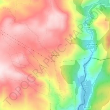
Name: Cepedelo topographic map, elevation, terrain.

Location: Cepedelo, Viana del Bollo, Viana, Ourense, Galicia, 32558, España (42.10525 -7.02379 42.14525 -6.98379)

Average elevation: 4,239 ft

Minimum elevation: 3,360 ft

Maximum elevation: 4,846 ft

Other topographic maps

Click on a map to view its topography, its elevation and its terrain.

Caldesiños

España > Galicia > Viana > Viana del Bollo

Average elevation: 2,503 ft

Quintela de Hedroso

España > Galicia > Viana > Viana del Bollo

Average elevation: 3,753 ft

Gear up for your next adventure:

🛶Inflatable Kayak - Portable kayak for rivers, lakes, and expeditions
🌲Outdoor Survival Books - Best books on survival skills
📱Solar Portable Charger - Solar power bank for charging devices off‑grid
📚USA Hiking Guide Books - Top trail guides and map books
🪄Magnetic Compass - Accurate compass for navigation

As an Amazon Associate, this site earns from qualifying purchases at no extra cost to you.